- Home
- About UCGIS
- News and Stories
- Community
- Programs & Projects
- TRELIS
- Symposia
- Summer Schools
- Webinars & Workshops
- Instructional Resources
- GIS&T Body of Knowledge
- I-GUIDE
- Completed Projects
- Join
The 2017 UCGIS election will be held on May 24, 2017, during the Symposium. Online voting will be available in the week prior to the election day for those delegates who will not be present at the Symposium itself.Selected individuals will begin their positions on July 1.President-Elect (one to be elected):
Bio: I am a graduate of the Geography programs at the University of Padua in Italy (B.A.), the University of California at Santa Barbara (M.A.), and Syracuse University (Ph.D.). Prior to coming to the United States, I worked in the editorial office of the National Atlas of Italy and as a GIS consultant for private and public organizations, co-authoring a draft standard on geographic data quality for the European Committee on Standardization (CEN). My early research focused on geographic data quality, web cartography, historical cartography, policy analysis, and hazards. In the past ten years, I have concentrated on applying GIScience methods to the study of the geography of Holocaust and genocide, receiving funds from the NSF, the NEH, and several Holocaust-related institutions. I am also affiliated with the Shoah Foundation at the University of Southern California. My current service activities include the Race Ethnicity and Place Conference series, the Forensic Border Coalition, the Southwestern Geographer, and the National Center for Research in Geography Education, a joint venture of Texas State University and the AAG. Relevant past service includes the ICA Commissions on Maps and the Internet and on Spatial Data Quality, and the Italian (UNINFO) and European (CEN) standardization agencies. Statement: I am honored to be considered for the position of President Elect of the UCGIS. I started my career as a cartographer and GIScientist in the private and public sectors in Italy and as a consultant for national and international organizations in Europe. Currently I am a Professor in the Department of Geography at Texas State University, where I have served as Chair since 2013. I believe these experiences have prepared me for my future work in and on behalf of the UCGIS. In the last several years I have worked with an international and interdisciplinary team of researchers and scholars from geography, history, art history, Holocaust and Genocide Studies, forensic anthropology, and with human rights organizations. Working across disciplines requires discipline, patience, mutual understanding, and an open mind, all qualities crucial to effective leadership. If elected, I would continue and strengthen existing relations with fields that have had long-lasting and mutually beneficial relationships with GIScience, and open up to new collaborations, including with the digital and spatial humanities. I would also build on the existing connections and strategic alliances the UCGIS has in place with professional and academic organizations to build new partnerships, including with the AAG, the humanities and the social sciences, the private sector, and internationally. On the educational and outreach front, I believe the Webinars and the GIS&T Body of Knowledge and GeoProjects are important initiatives that should be strengthened by identifying and focusing on an online audience of GIScience professionals, undergraduate and graduate students, and community colleges.
Bio: Chuanrong (Cindy) Zhang is currently a Professor at Department of Geography & Center of Environmental Sciences and Engineering, University of Connecticut. She received her Ph.D. degree in geography from University of Wisconsin, Milwaukee, in 2004. Her research concentrates on GIS Cyberinfrastructure, Spatial statistics, and their applications in natural resource and environmental studies. Her research is interdisciplinary. She has published articles in leading journals in GIS, remote sensing, and environmental studies. Since 2003 she has published more than 110 peer-reviewed articles (including 80 journal articles in more than 20 different journals). She published her monograph titled “Geospatial Semantic Web” with Springer in 2015. Her work has been supported from different prestige agents such as NSF and DoE. She has served as committee chair (member) for international (national) conferences/organizations in geospatial community such as AAG, CPGIS, and UCGIS. She received UCGIS/ESRI Junior Faculty Award in 2009 and NCSA CyberGIS Fellow in 2014. Statement: From a PhD student to a full professor, UCGIS has played important roles in my career development. At beginning of my PhD study I planned to continue my computer-engineer career in industry. However, UCGIS 2002 summer meeting changed my idea after talking with some experts. I received several awards from UCGIS and was selected for presentation in several UCGIS symposiums, which supported my academic career. Both my research and teaching have greatly benefited from UCGIS. Now it’s time to return my service. I’ve been serving as the UCGIS committee and delegate for UCONN. I am truly honored and grateful to be nominated to serve as President of UCGIS. The past and current presidents have set a very high bar with great visions and efforts. It would be a challenge for the next president to advance UCGIS. I am confident to step up for this candidacy. Here I want to make a strong commitment to further the success of the past and current presidents by working with all BOD members and committees. I will make efforts to enhance UCGIS’s international profile, promote its visibility, expand the base of its membership, promote partnerships with other organizations, and encourage more women in GIS. Members, Board of Directors (2 to be elected):
Bio: Dr. Wenwen Li is Assistant Professor in Computational Spatial Science from the School of Geographical Sciences and Urban Planning, Arizona State University. Her area of expertise is cyberinfrastructure, big data and deep learning. In particular, her research aims to develop integrated, sustainable and smart cyber-infrastructure to revolutionize knowledge discovery in data and computational intensive geographical sciences. Collectively, she has over 70 publications in top-notch GIScience journals, books and conferences. Currently she is running the CICI lab (Cyberinfrastructure and Computational Intelligence Lab: http://cici.lab.asu.edu) at ASU and is leading three NSF cyberinfrastructure projects. She is a 2015 NSF CAREER award winner (the most prestigious award of NSF for tenure-track faculty). She has also led the development of a number of cyber-tools for enhancing web-scale data access (i.e. PolarHub), space-time visualization (i.e. PolarGlobe), and intelligent data processing. Statement: I am keen to academic service. Over the past years, I have served on the program committee of 20+ international conferences and workshops. I am serving as the reviewer for 30+ GIS and computer science journals. From 2012-2014, I served as the chair of Cyberinfrastructure Specialty Group of Association of American Geographers. In 2013, I was invited to the UCGIS’ Geographic Information Science & Technology Body of Knowledge (BoK) Task Force Steering Committee, along with other 24 members across the nation. Currently, I am serving as the “Data Management” knowledge area editor for the development of UCGIS BoK v2. These vast experiences in serving the community, especially for UCGIS, have established a solid foundation to continue working for UCGIS as a board director. If elected, I would be willing to work with the UCGIS presidents and other BOD to promote GIScience research and education in Geography and related disciplines. I would like to conduct outreach for UCGIS to strengthen the collaboration between researchers in GIScience and other science disciplines (i.e. computer science, energy, climate, polar, geosciences etc) to foster more in-depth interdisciplinary research in the forms of joint research proposals, students co-advising etc. I would also love to create opportunities for under- and graduate- students to get involved in state-of-the-art GIScience research through the UCGIS platform. Proposals in mind include (1) organizing student paper competition during UCGIS symposiums; (2) inviting field leaders to share experience in developing a successful career; and (3) fostering workforce development by inviting industry leaders to introduce job search and interview skills through workshops.
Bio: I am currently Assistant Professor in my sixth year in the Department of Geography and Environmental Studies at California State University Northridge (CSUN) teaching predominately in our BA in GIS and MS in GISci programs, leveraging my 20 years of experience in the geospatial industry. My program of research lies in the content areas of neighborhood dynamics, environmental vulnerability, and health disparity for disadvantaged communities. Much of my early work has centered specifically on the health dynamics of Hispanic communities across various neighborhood typologies in LA. My research also seeks to help identify the ways in which we define ‘neighborhood’ in geography and to develop more rigorous methodologies using GIS to delineate these complex boundaries in the urban environment. I have also focused considerable work on neighborhood selectivity and mobility for various subpopulations. I am currently coordinating several research and internship projects as Associate Director of the Center for Geographical Studies at CSUN, including projects with the LA County Department of Public Health, the LA Department of Water and Power, the Bureau of Ocean Energy Management, the US Forest Service and the Southern California Coastal Water Research Project, as well as various other local and regional agencies (both public and private). Statement: I am excited about the opportunity to engage with the UCGIS leadership and community at-large as a member of the board of directors. Participating in this program and its associated initiatives both advances the fields of GIS and geography and strengthens the geospatial sciences at various levels. I look forward to the opportunity to partner with fellow members to advance policy that is beneficial to all stakeholders at all levels, from students to industry practitioners. I am particularly excited to represent California State University Northridge and advocate for education initiatives, outreach, and policies that are beneficial to universities such as ours across the nation that serve a highly culturally diverse population of often under-represented students in the geospatial sciences. I hope to use this position to help create more networks for students, institutions, and industry leaders with programs in geospatial science and to encourage more partnerships between Masters and Doctoral granting institutions in terms of both education pathways and programs of research.
Bio: Shih-Lung Shaw is an Alvin and Sally Beaman Professor and Arts and Sciences Excellence Professor of Geography at the University of Tennessee, Knoxville. His research interests cover geographic information science, transportation geography, GIS for transportation, time geography, and spatiotemporal analysis of human dynamics. His recent research has focused on space-time analytics of human activities and interactions in a hybrid physical-virtual world based on various kinds of tracking data. Dr. Shaw is a Fellow of the American Association for Advancement of Science (AAAS) and a recipient of the Edward L. Ullman Award for Outstanding Contributions to Transportation Geography from the Association of American Geographers (AAG). Dr. Shaw also is a Faculty Fellow of the Center for Transportation Research and affiliated faculty of the Center for Sustainable Business and Tourism at the University of Tennessee, Knoxville. He serves on the editorial board of IJGIS, Journal of Transport Geography, and other journals. Statement: It is an exciting time for Geographic Information Science (GIScience) and Geographic Information Systems (GIS)! Both GIScience and GIS have been growing and evolving as they are viewed as relevant and useful to many critical challenges that the Earth and the human societies are facing. Rapid advancements of computing, remote sensing, location-aware, and information and communication technologies during the past couple of decades have made it feasible for GIScience and GIS to access bigger and better data and tackle complex and critical research questions that were unthinkable not too long ago. It is an honor and a privilege of having this opportunity to serve on the Board of Directors of the University Consortium for Geographic Information Science (UCGIS) and work closely with colleagues to promote and support the field of Geographic Information Science, especially the needs of researchers. GIScience is at a turning point of further advancing its theories and applications as detailed spatiotemporal data are increasingly available and embedded in our daily lives that raise many interesting and important social, cultural, health, environmental and technical research questions. It is an exciting time to be nominated for the UCGIS Board of Directors!
Bio: Enki Yoo is an associate professor of geography at the University at Buffalo, The State University of New York and a member of the National Center for Geographic Information and Analysis. She was trained as a quantitative geographer specialized in Geographic Information Science and received her Ph.D. at the University of California, Santa Barbara in 2006. Her primary research interests are in utilizing geostatistics to address issues associated with spatial and temporal scale discrepancies in data fusion. She is involved in several multidisciplinary and multi-collaborative research projects, which have contributed to both her leadership skills and flexibility. In recent years she has contributed to the UCGIS as its Secretary and as a Board Member, and she is currently serving on the Board of the AAG Spatial Analysis and Modeling Specialty Group. Statement: If elected I will contribute to the UCGIS particularly in the area of advanced GIScience research and education. I am a scholar active in the development and application of GIScience methods in public health, human mobility, and environmental engineering, and in mentoring students as they develop skills in these research applications. My work depends heavily on collaboration with colleagues from different disciplines, which often requires diplomacy given differences in expectations across fields. Likewise, I have considerable experience training students who vary in terms of their backgrounds, languages and skill sets. These experiences will strengthen my contributions to the mission of UCGIS of advocating “advancing research in the field of GIScience” and building “scholarly communities and networks to foster multi-disciplinary GIS research and education.” |

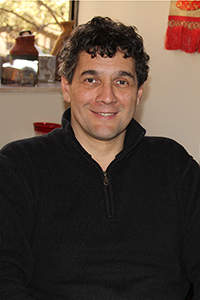 Alberto Giordano, Texas State University
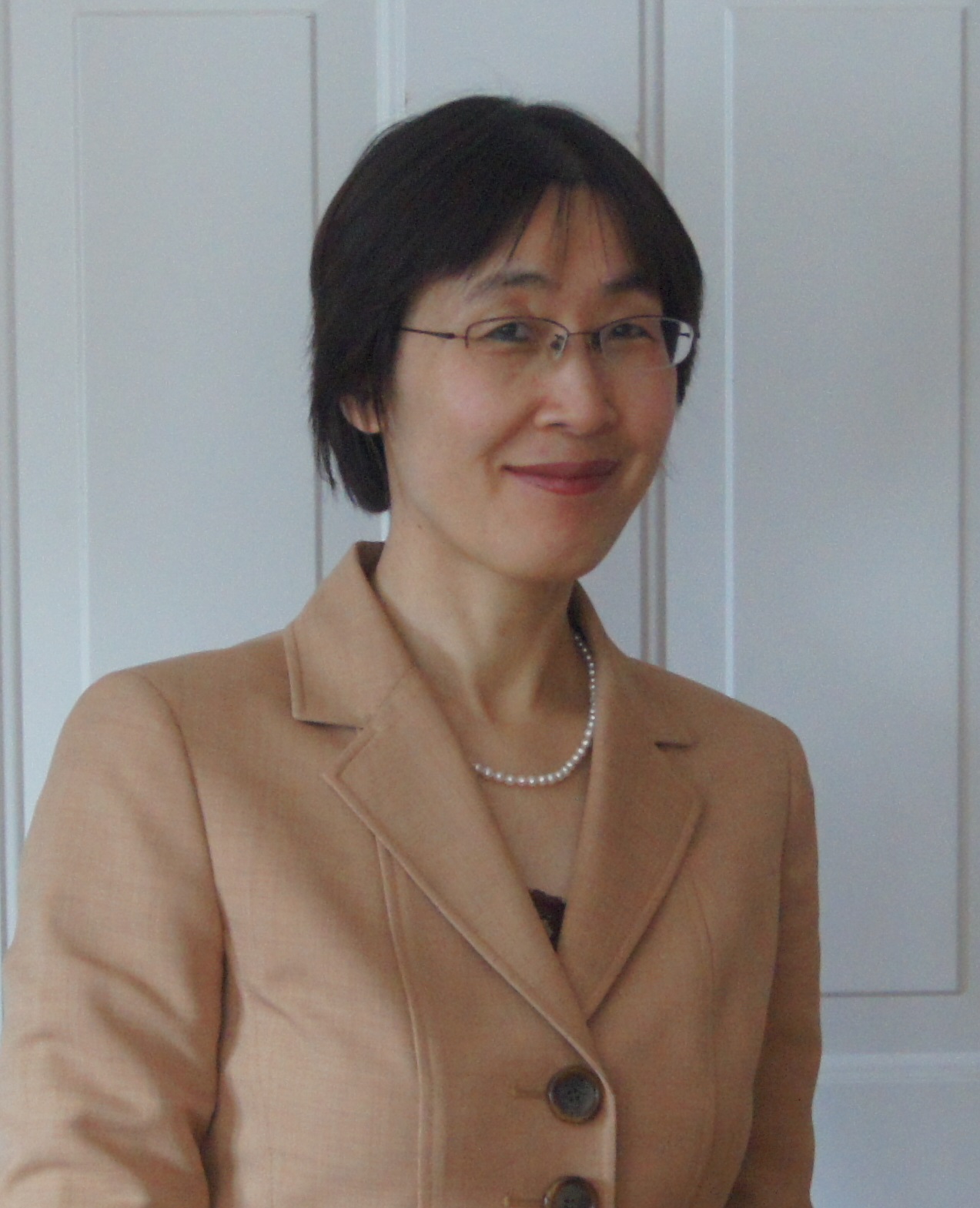 Cindy Zhang, University of Connecticut
 Wenwen Li, Arizona State University
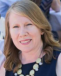 Regan Maas, California State University Northridge
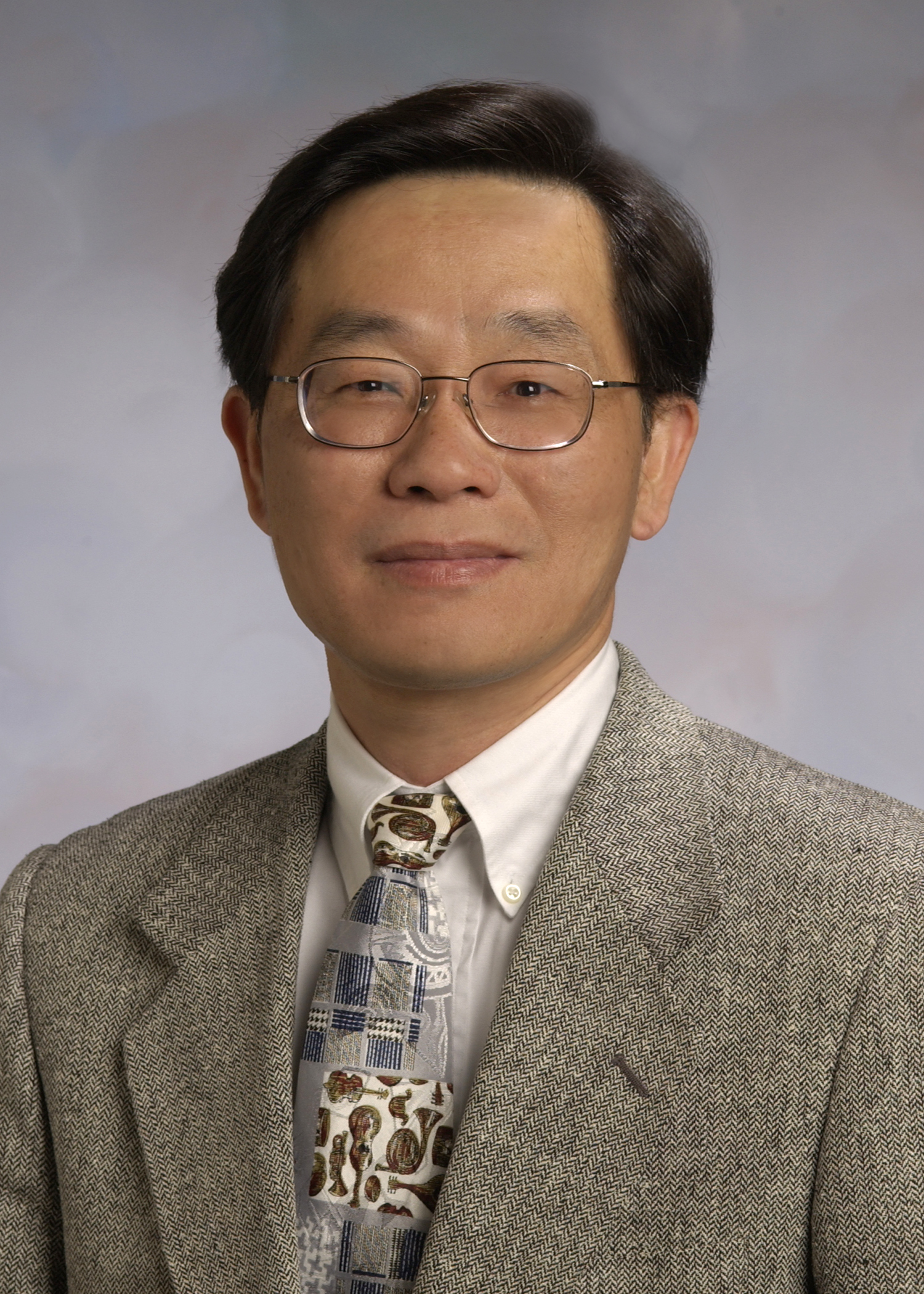 Shih-Lung Shaw, University of Tennessee
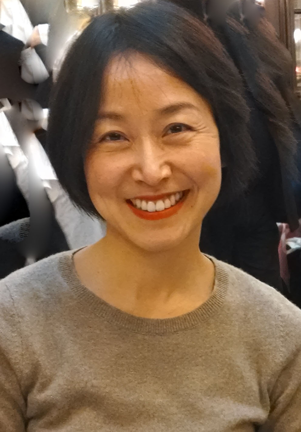 Enki Yoo, University at Buffalo