UCGIS Fellows
The UCGIS Fellows Program identifies and honors members of our geospatial community who have extraordinary records of accomplishments, including service to the mission of UCGIS. Thus, they have demonstrated exemplary competence to:
- Advance research in the field of Geographic Information Science;
- Expand and strengthen Geographic Information Science education;
- Advocate policies for the promotion of the ethical use of and access to geographic information technologies; and,
- Build scholarly communities and networks to foster multi-disciplinary GIS research and education.
| |
Recipient Name
|
Awarded Year
|
Description
|
 |
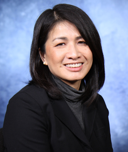
Wenwen Li |
2023 |
|
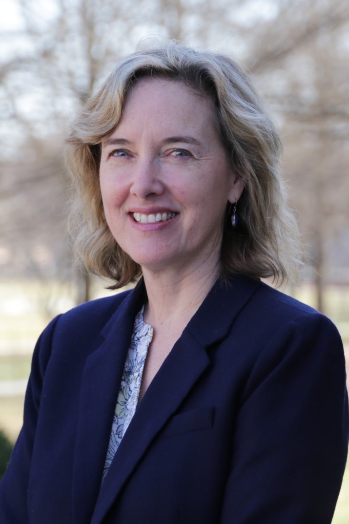 |
Kathleen Stewart |
2023 |
|
 |
May Yuan |
2023 |
|
 |
Marc Armstrong |
2019 |
At the University of Iowa, Dr. Marc Armstrong is a Professor, Collegiate Fellow, and Associate Dean for Research and Infrastructure. His primary interest areas are GIScience theory and applications, high-performance computing, spatial analysis, and cartography. Furthermore, Dr. Armstrong’s contributions to the mission of UCGIS, to further research and development in the field, is exemplary. His contributions to the UCGIS organization include his service on the Board of Directors and his ongoing and steady support for UCGIS through participation in its events and activities throughout its entire history.
Dr. Armstrong’s research and contributions to GIScience began with building and using GIS for environmental applications ....
|
 |
Daniel A. Griffith |
2018 |
Dr. Griffith is an Ashbel Smith Professor within the School of Economic, Political and Policy Sciences at the University of Texas at Dallas. He also served as the Associate Program Head of the Geospatial Information Sciences Program for ten years. His primary areas of research are in spatial statistics, quantitative urban and economic geography, and spatial epidemiology, and he teaches about spatial statistics and spatial econometrics, GIScience research design, and urban economics. Professor Griffith has contributed in substantial ways to the development of fundamental theories within geography ...
|
 |
Kate Beard |
2017 |
Dr. Kate Beard is a Professor of Spatial Informatics in the School of Computing and Information Science at the University of Maine. She also serves as the director of the Maine venue of the National Center for Geographic Information and Analysis (NCGIA), a position she has held since 2006. Dr. Beard is known for the breadth and quality of her research work, her insightful achievements, and her ability to mobilize and lead teams of researchers and students in achieving the advancement of geographic information science.
Dr. Beard’s areas of expertise include map generalization, multiple representation, spatial data quality, spatiotemporal data modeling, data integration, and semantic data modeling. This includes ...
|
 |
Nina Lam |
2016 |
Dr. Nina Lam is Professor and E. L. Abraham Distinguished Professor of Louisiana Environmental Studies in the Department of Environmental Sciences at Louisiana State University. Dr. Lam is being recognized for her extraordinary contributions to research, education, and service to geographic information science and technology (GIS&T) for more than thirty-five years.
Dr. Lam has authored or co-authored 85-plus refereed publications appearing in journals and books; she has...
|
 |
Donna J. Peuquet |
2016 |
Dr. Donna J. Peuquet is Professor and Director of Undergraduate Programs in the Department of Geography at Pennsylvania State University. She has held past positions at the University of California, Santa Barbara, the State University of New York, Buffalo, and at the U.S. Geological Survey. She has held visiting appointments at the CSIRO Division of Information Technology and Water Resources in Canberra, Australia, at the International Institute for Geo-Information Science and Earth...
|
 |
Timothy L. Nyerges |
2015 |
Dr. Tim Nyerges is professor of Geography at the University of Washington and has a long and distinguished career in geographic information science research, education, and service. Tim earned his Ph.D. degree in geography from The Ohio State University in 1980 and worked in industry for 5 years before joining the faculty at the University of Washington where he continues his work today. Tim has accumulated an excellent research and publication record which includes five books, 45 referred...
|
 |
John Wilson |
2014 |
Dr. John Wilson is Professor of Spatial Sciences and Sociology in the Dana and David Dornsife College of Letters, Arts and Sciences at the University of Southern California (USC), where he directs the Spatial Sciences Institute as well as the Geographic Information Science & Technology (GIS&T) Programs and GIS Research Laboratory. He also holds adjunct appointments as Professor in the USC School of Architecture and in the USC Viterbi School of Engineering’s Departments of Computer...
|
 |
Hanan Samet |
2014 |
Hanan Samet is a computer scientist who has specialized in computerized geographic information storage procedures. He is the world's foremost expert on a structure known as the quadtree, a method of organizing spatial information that is economical and yet facilitates analysis. This work has profoundly affected Geographic Information Science through his published books and many lectures.
Professor Samet received his education in engineering and computer science in California at UCLA...
|
 |
Scott Morehouse |
2014 |
There are very few people involved in GIS who have as rich understanding of GIS technology as Scott Morehouse. In terms of his impact on GIS through the design and development of software, Scott has no peers. For more than 25 years he has been the lead architect of Esri’s software systems, which are widely regarded to be the premier high-end systems in use today.
Scott Morehouse is one of the original designers of geographic information systems. He got his start as a young...
|
 |
Barbara Buttenfield |
2013 |
Dr. Barbara P. Buttenfield (babs), Professor, Department of Geography, University of Colorado-Boulder and Director, Meridian Research Laboratory, has made many important and seminal contributions to research and education in Geographic Information Science (GIScience) and to UCGIS. Her most important contributions are in the area of map generalization and multiple representations, a term first used at a National Science Foundation-funded specialist meeting she organized in 1989. Her papers...
|
 |
Robert McMaster |
2013 |
Dr. Robert B. McMaster, Professor of Geography, Vice Provost, and Dean of Undergraduate Education at the University of Minnesota, is a scholar of international reputation who has made extraordinary contributions to research, education, and service in geographic information science (GIScience) and technology (GIS&T) and to UCGIS. Dr. McMaster has made significant research contributions in automated generalization of geospatial data and phenomena, environmental risk, GIScience and society...
|
 |
Gerard Rushton |
2012 |
Dr. Gerard Rushton has been a productive scholar in our field for almost 50 years, breaking new ground at every turn in his career. His work has always been on the frontier of spatial analysis and geographic information systems. He has led the way in creating new techniques of analysis, exploring and explaining the strengths and weaknesses of already existing techniques, and then using sophisticated methods to help solve social problems. He is a leader in the health care field, the...
|
 |
David J. Cowen |
2012 |
Dr. David Cowen is recognized as a Fellow of the UCGIS in recognition of his sustained and effective contributions to the field of Geographic Information Systems and Science. Professor Cowen’s contributions in the areas of GIS applications, education, research, government service, and commercial development have had a deep and long-lasting impact upon both geography and GIScience, and on the ways in which GIS is viewed by society. In addition to a distinguished academic career at the...
|
 |
Max J. Egenhofer |
2012 |
Dr. Max Egenhofer has made numerous, highly significant research contributions to geographic information science. Many of his research results on spatial relations and the spatial query languages are commonplace in commercial geographic information systems and have been embedded as key ingredients in international standards. In these standards, the topological relations that derive from his 9-intersection model are often referred to as the "Egenhofer relations." His most prominent...
|
 |
Jack Dangermond |
2012 |
Dr. Jack Dangermond is a major figure in the development and evolution of geographic information systems (GIS) and science. He was a pioneer in the commercialization of GIS software and has been a constant supporter of geographic information science in the academic sector, as well as throughout government and industry. Jack has made a difference to the global environment and to society while building a successful high-technology corporation, playing a key role in the growth of the effective...
|
 |
Luc Anselin |
2012 |
Dr. Luc Anselin, Regents' Professor and Walter Isard Chair at Arizona State University is an elected member of the United States National Academy of Sciences and a William Alonso awardee, a Walter Isard recipient for distinguished scholarship, and a Fellow of the Regional Science Association International. As Director of the GeoDa Center for Geospatial Analysis and Computation at ASU, he is a spatial scientist with an admirable international reputation. His popular software, GeoDa,...
|
 |
William J. Craig |
2011 |
Dr. William J. Craig is awarded the University Consortium of Geographic Information Science (UCGIS) Fellow status to recognize his outstanding contributions to geographic information science and his exceptional service to UCGIS. Will Craig was one of the early pioneers in GIS as Project Director (1973‐75) and Systems Director (1974‐77) of the Minnesota Land Management Information System at the University of Minnesota. Along with CGIS (the Canadian Geographic Information System)...
|
 |
Jerome E "Jerry" Dobson |
2011 |
Dr. Jerome E. “Jerry” Dobson is awarded University Consortium for Geographic Information Science (UCGIS) Fellow status to recognize his outstanding contributions to geographic information science (GIScience) and his service to UCGIS. Jerry was an early researcher and pioneer who helped establish the field of GIScience. He earned an AA from Reinhardt College, AB and MA from the University of Georgia, and a Ph.D. in Geography from the University of Tennessee. In 1975, he began his career with...
|
 |
Michael F. Goodchild |
2011 |
Dr. Michael F. Goodchild is awarded University Consortium of Geographical Information Science (UCGIS) Fellow status in recognition of his leadership, contributions to UCGIS, and his remarkable impact on the field of GIScience. Goodchild is the Jack and Laura Dangermond Chair of Geography and Professor of Geography at the University of California, Santa Barbara (UCSB). He is a graduate of the University of Cambridge in physics (1965) and earned a Ph. D. in geography at McMaster University in...
|
 |
Karen K. Kemp |
2011 |
Dr. Karen K. Kemp has been a major figure in the evolution of GIS education in the US and abroad. She also has contributed in the areas of research and administration. Karen has been involved in the UCGIS since before its inception ‐‐ she helped organize and then chaired the founding meeting in Boulder in 1995. She has served on the UCGIS Board of Directors, served as Program Co‐chair for the UCGIS 1997 Annual Assembly and Summer Retreat and, with Richard Wright, was editor of the UCGIS...
|
 |
Harlan J. Onsrud |
2011 |
Dr. Harlan J. Onsrud has been a leader in research and education on the legal, ethical, and institutional issues surrounding spatial information since the 1980s. Professor Onsrud was instrumental in the establishment of the UCGIS. He participated in the founding meeting in Boulder, Colorado, and took the lead in drafting the original UCGIS bylaws. Harlan then served as the first Chair of the UCGIS Policy and Legislation Committee and played a key role in the planning of early UCGIS...
|
Emeriti
While now deceased, the following UCGIS Fellows are remembered not only in our hearts but through their substantial foundational contributions upon which our scholarly and academic communities continue to advance.
| |
Recipient Name
|
Awarded Year
|
Description
|
 |
Roger Tomlinson |
2013 |
Dr. Roger Tomlinson (1933-2014) is generally recognized as the "father of GIS.” He is the visionary geographer who conceived and developed the first GIS for use by the Canada Land Inventory in the early 1960s. This and continuing contributions led the Canadian government to give him its highest civilian award, the Order of Canada, in 2001. Text for that award reads, “he pioneered its uses worldwide to collect, manage, and manipulate geographical data, changing the face of geography as a...
|
 |
Waldo R. Tobler |
2012 |
Dr. Waldo Tobler has made unique and seminal contributions to the development of geographic information science. He graduated PhD from the University of Washington in 1961, rose from Assistant Professor to Professor at the University of Michigan, and was Professor at the University of California, Santa Barbara, until his retirement in 1994. He was elected Member of the National Academy of Sciences in 1982, one of the first geographers to receive this honor, and was awarded an honorary...
|
 |
Duane F. Marble |
2011 |
Dr. Duane F. Marble is awarded University Consortium of Geographical Information Science (UCGIS) Fellow status in recognition of his leadership, contributions to UCGIS, and his remarkable impact on the field of GIScience. Marble is Professor Emeritus of Geography at The Ohio State University. In addition, he holds a courtesy appointment as Professor of Geosciences at Oregon State University. He earned three degrees from the University of Washington, having been awarded the Ph.D. in 1959. He...
|
 |
Arthur Getis |
2010 |
Dr. Arthur (Art) Getis is awarded a University Consortium of Geographic Information Science (UCGIS) Fellow status to recognize his outstanding impact on the field of GIScience as well as for his service to UCGIS. Getis is a Professor Emeritus of Geography at San Diego State University. He received his Ph.D. in Geography from the University of Washington in 1961. He has Master and Bachelor degrees from the Pennsylvania State University. Within GIScience, Getis’ specialties include spatial...
|
 |
David Mark |
2010 |
Dr. David M. Mark is awarded a University Consortium of Geographic Information Science (UCGIS) Fellow status to recognize his sustained and far-reaching contributions to Geographic Information Science as well as his devoted service to UCGIS. Dr. Mark received his Ph.D. degree in Geography from Simon Fraser University in 1977. His Master and Bachelor degrees were granted by University of British Columbia (1974) and Simon Fraser University, respectively. He is a SUNY Distinguished Professor in...
|
 |
E. Lynn Usery |
2010 |
Dr. E. Lynn Usery is awarded a University Consortium of Geographic Information Science (UCGIS) Fellow status to recognize his outstanding impact on the field of GIScience as well as for his service to UCGIS. Although Lynn is formally Research Physical Scientist, GS 15, with the United States Geological Survey, he really serves as the Director of the newly-established Center of Excellence for Geospatial Information Science. Lynn has completed multiple degrees, including a BS in Geography/...
|
|